
Huntsville, AL
Three Routes:
Aldridge Creek Greenway (BEGINNER)
Start: Ditto Landing Kayak Launch (Near Kingston Pavilion)
End: Ditto Landing Kayak Launch (Near Kingston Pavilion)
Length: 1.14 Miles
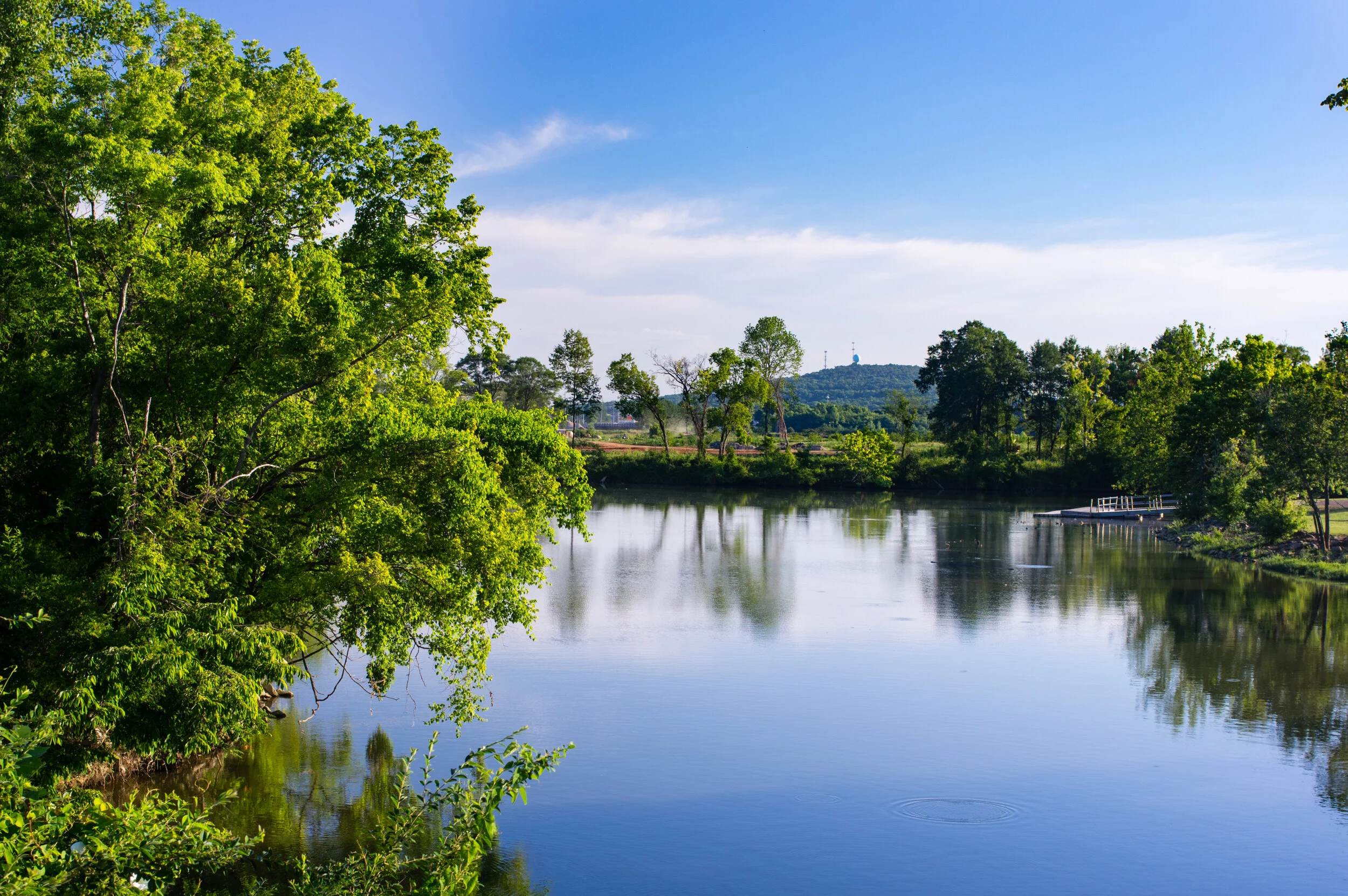
Experience: Launch your adventure at the floating kayak launch in Ditto Landing, nestled on Aldridge Creek right before the Kingston Pavilion. Paddle through varying water levels past the Hobbs Island Rd Bridge, where there's always enough depth for a serene and enjoyable trip. Immerse yourself in nature's splendor with abundant sightings of deer, waterfowl, wild turkeys, river otters, and the majestic bald eagle.
East Harbor to Butler Basin (INTERMEDIATE)
Start: Ditto Landing East Harbor
End: Ditto Landing East Harbor
Length: 2.08 Miles
Experience: Begin your journey in the tranquil, wake-free waters of East Harbor Landing. Glide into the back channel of the Tennessee River, paddling gently against the current down to Butler Basin. Take a refreshing break at Butler Basin before heading back to East Harbor. Enjoy the stunning scenery, diverse wildlife, and the ease of a relaxing paddle throughout this serene route.
East Harbor – Hobbs Island Circle (INTERMEDIATE)
Start: Ditto Landing East Harbor
End: Ditto Landing East Harbor
Length: 4.32 Miles
Experience: Embark on your paddling adventure from the serene, wake-free waters of East Harbor Landing. Navigate into the back channel of the Tennessee River, paddling against the current to the end of Hobbs Island. Continue along the Tennessee River to the opposite end of Hobbs Island, then return via the back channel to East Harbor. This route offers a mix of currents: first paddling against the back channel’s current, then flowing with the Tennessee River's current before circling back. Along the way, enjoy breathtaking scenery and diverse wildlife, making for a rewarding challenge suited to intermediate and advanced paddlers. Before setting out, check the TVA App for current flow rates. Flows up to 6000 CFM provide an easy and pleasant experience. When rates exceed 9000 CFM, the difficulty increases, requiring careful assessment of your skill level. Avoid paddling in flows above 18,000 CFM, regardless of experience.
Outfitters: Huntsville Madison Co. Rowing and Water Sports, REI Co-Op
Restaurants: Another Broken Egg, Bad Daddy’s Burgers, Bubby’s Diner, Daylight Donuts
Things to Do: Ditto Landing Marina, Harmony Park Animal Safari, US Space and Rocket Center, Huntsville Botanical Garden, Monte Sano State Park, Wernher Von Braun Planetarium, Twickenham Historic District
Fun Facts:
Home to the U.S. Space & Rocket Center, which houses the world's largest collection of space artifacts and serves as the official visitor center for NASA's Marshall Space Flight Center, NASA’s largest field center and serving as a hub for pioneering space missions.
Huntsville was initially named Twickenham after Alexander Pope's English home at the behest of Leroy Pope, but on November 25, 1811, the town was rechristened "Huntsville" in honor of its first settler, John Hunt, who arrived in 1805.
Huntsville is known as “Rocket City”
Land Declaration: This Tennessee RiverLine experience traverses territory once home to Eastern Cherokee, Chickasaw, Shawnee, and Yuchi peoples (source: https://native-land.ca/).
Eco-region: INTERIOR PLATEAU. The Interior Plateau is a diverse ecoregion extending from southern Indiana and Ohio to northern Alabama. Rock types are distinctly different from the coastal plain sediments and alluvial deposits of ecoregions to the west, and elevations are lower than the Appalachian ecoregions (66, 67, 68) to the east. Mississippian to Ordovician-age limestone, chert, sandstone, siltstone and shale compose the landforms of open hills, irregular plains, and tablelands. The natural vegetation is primarily oak-hickory forest, with some areas of bluestem prairie and cedar glades. The region has a diverse fish fauna. (source: USEPA)
Physiographic Region: The Interior Low Plateaus is part of the Interior Plains and the elevation of the province ranges from 1000 feet to as low as 500-600 feet. A prominent structural feature of this province is the northeast-southwest anticline that runs through the entire province. The Cincinnati Arch is the axis of the fold and is a structural high for the region. (source: https://www.nps.gov/subjects/geology/physiographic-provinces.htm)